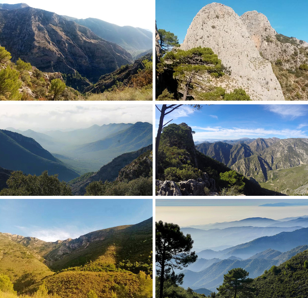
I don’t think any hike shows off the beauty of the Sierras de Tejeda, Almijara and Alhama Natural Park more than Almendron (“the Almond”). Hiking Almendron isn’t easy: it’s strenuous, long (expect to be hiking for 7-8 hours), and it can be dangerous (more on that later).
What makes hiking Almendron special?
The views are incredible and, because it is a loop (you don’t have to retrace your steps), the vistas you’ll see along the way are varied. You start in a river canyon, walk along a historic miner’s trail, and end up on a ridge looking back across the Barranca de Cazadores with the coast in the background. Along the ridge of the mountain you can climb the summit, see other impressive outcrops (such as the Torre de Almendron), and have spectacular views of more mountains and valleys stretching further inland. Descending the ridge the views to the west open up, offering vistas of the coast stretching as far as Malaga.
It is a spectacular hike.

How hard is it hiking Almendron?
You start hiking around the 500 m mark and ascend to a maximum of 1514 m (the summit of Almendron). It’s a strenuous hike. I’d give it a 7/10 on the physical exertion scale. But if you’re in decent physical condition you shouldn’t have any difficulty climbing Almendron.
Is it safe hiking Almendron?
It is safe hiking Almendron except if trying to scale the last few meters of the summit. I climbed up to the last little bit and saw a ledge about 2 feet wide extending out about a meter. 400 meters below was the valley floor. This part is extremely dangerous and there was no way I was doing it (nobody in our group dared do it except for our tour guide Jon). If you want to see what I’m talking about, have a look at this video (go to the 2:20 mark to see the ledge I’m talking about). Note: there’s no reason to climb the summit except to say that you’ve climbed the summit. A little further on you have the same views and don’t have to risk your life.
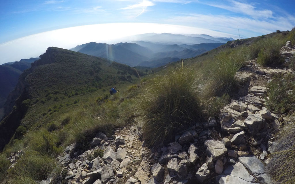
Otherwise, the most dangerous thing on this hike is the loose rock, particularly on the descent. You just have to watch your step.

Getting to Almendron and navigating the path
The signalling on Almendron is not good. That’s why I’ve tried to focus on directional instructions in the video. Some more detail below:
Getting there
Start at the Nerja Caves, go through the parking lot, and drive (past the signpost signalling that you are in the Sierras de Tejeda, Almijara and Alhama Natural Park)*. Continue along the road and when you get to the junction (at the 00:52 mark of my video on El Cielo) stay on your left. Continue. You’ll eventually get to “Area Recreativa El Pinarillo” but keep going. About 10 minutes later you’ll get to the Starting Point that I’ve indicated on my video at the top of this post.
The road into the park is open starting in November and ending in May. I wouldn’t recommend hiking Almendron when the road isn’t open because it’s just too long of a walk from the caves.
The Trail
The trail up Almendron is pretty easy to find if you follow the directions in my video:
– Walk along the valley (Barranca de Cazadores) until you have the huge rock face right in front of you. You then get to an area where they’ve been rockfalls. Right next to a cave, the path veers sharply right. It’ll probably have taken you about an hour to get here from the Starting Point.
– Follow the Camino de los Mineros – there’s no sign telling you that this is what it is but it is very clearly a man made trail.
– At the end of that trail you get to a forested area. By this time you should be around the 2 hour mark. Look for the “Almend” sign (red paint) that I have in the video. From here the trail zig-zags up the hillside for about an hour.
– By the 3 hour mark you should be in the clear (very few trees). The Almendron trail will always be to your left so don’t follow anything indicating directions to the right.
– You should be on the trail along the ridge and will be following this for at least an hour. As previously mentioned, you’ll have great views here looking down at the canyon on your left (Barranca de Cazadores) and the coast beyond.
– You’ll pass a few landmarks (Torre del Almendron and Tajo del Almendron). Again, see my video.
– Continuing on, the views to the west open up. This is where your descent starts. You’ll be zig-zagging down the hill. Watch out for the loose footing.
– Continuing down, you’ll find yourself at a clearing with the canyon to your left and a hill in front of you. Follow the path to the left which goes around the hill.
– Soon, you’ll find yourself looking westwards (to the right) at the coast as you continue your descent. Just keep following that same path.
– You’ll reach an overgrown road. Follow that about 30 minutes, it’ll be heading east and you’ll be looking ahead at El Cielo with Barranca de Cazadores on your right.
– You’ll reach a chain that stretches over the road and a few minutes later will arrive at a road intersecting the overgrown road you’ve been walking on. Turn right (again, refer to video).
– Continue along this road for a little while until it intersects another road. You’ll see ruins to your right. Go left. This will bring you to the Starting point as indicated in the video.
I hope the above helps.
A Final Tip
Wear pants, not shorts. There are shrubs all along this route and you’ll get scratched to hell if you wear shorts.
Also: I took the hike with Jon Keo Walking Tours. Jon’s a great guide and he’s got a lot of hikes in the area at affordable prices.
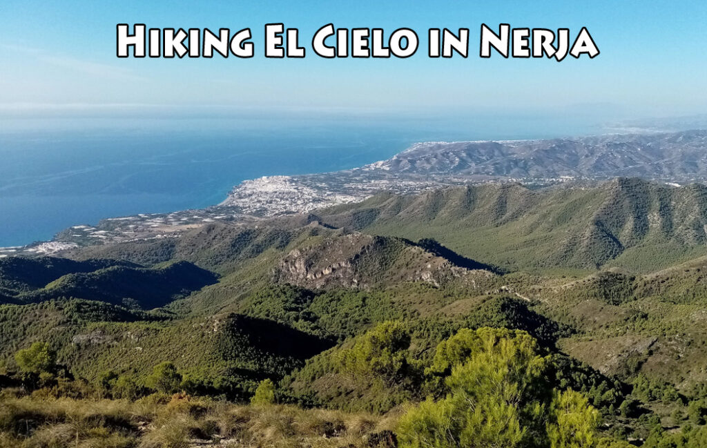
Related: Hiking El Cielo in Nerja

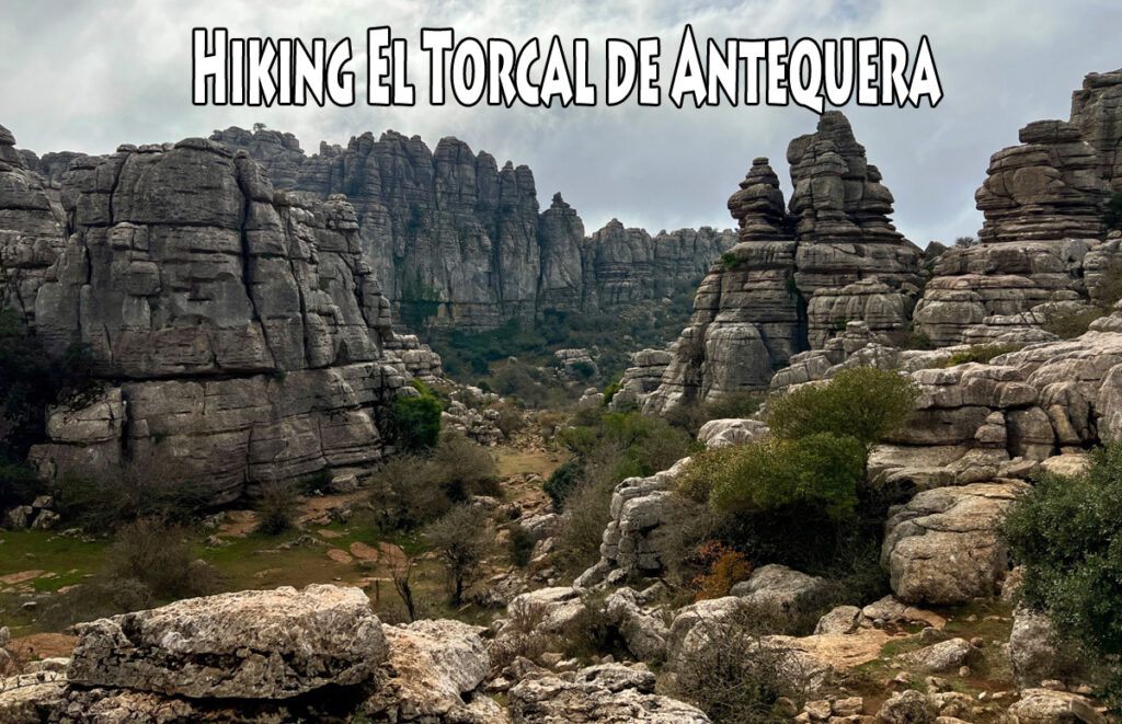
Related: Hiking El Torcal de Antequera

Related: Plants and Flowers of the Costa del Sol


Great information. Also a great introduction to the Irish guide site. I used to trek Cielo all the time, when I went on hols but have lacked the motivation of late to get up at dawn and head up. The group thing might help me when I get there again in June. Thanks again and keep up the interesting posts.
Thank you very much! Yes, Jon is recommended and it’s a good way to meet people.
Cool video and fantastic views. Eight hours? Are there any “facilities” along the way or do you have to find a bush to hide behind?
Hi Edith! I hope you are well.
No facilities, just a bush with hopes that you don’t have a misstep and fall into the abyss.
I joke but I sprained my ankle on this hike. Walking the ridge path filming and my left leg went over the edge. My right leg buckled, by right foot stopped me from toppling over the edge. I would have been another dead youtuber 🙂